Underwater mapping, imaging system, water quality monitoring
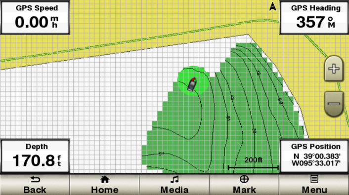
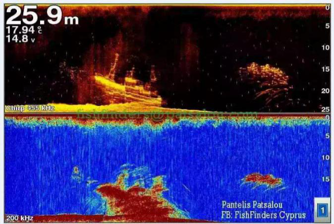
The professional transducer, the supporting software will automatically draw the map data during the navigation process, and the drawing result will be displayed in real time. You can draw it yourself as needed, and the data can be retained or shared with your friends.
Previous:
GS25 GPS Antenna
Next:
Tidal system

